Foothill Boulevard Master Plan Improvements Project

Location
Foothill Boulevard from Towne Avenue to LA/SB County Boundary
City or County Responsible for Project
City of Claremont
Category
Complete Streets Projects
Author
Maria B. Tipping
City of Claremont
207 Harvard Avenue
9093995474
Project Description
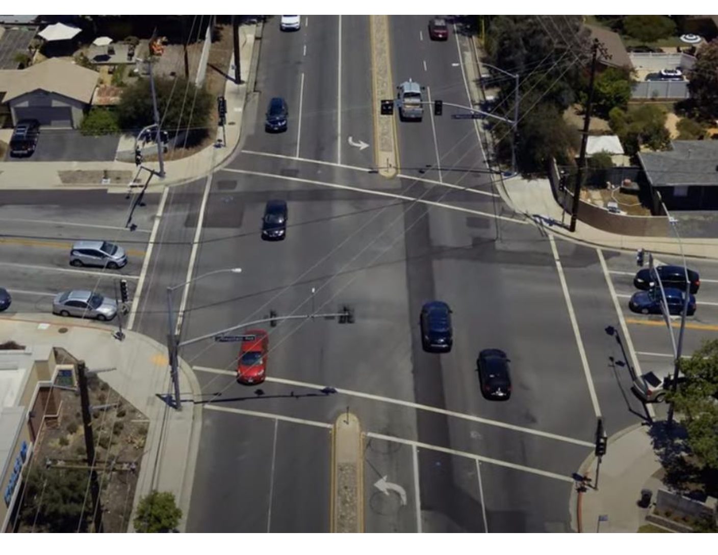
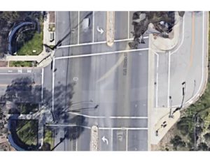
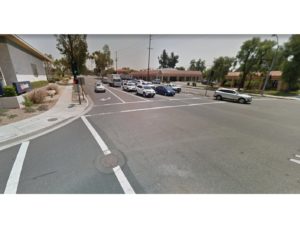
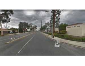
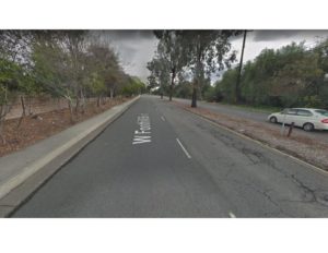
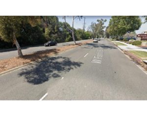
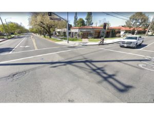
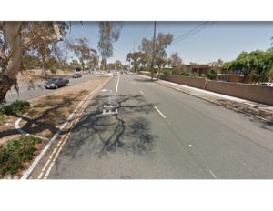
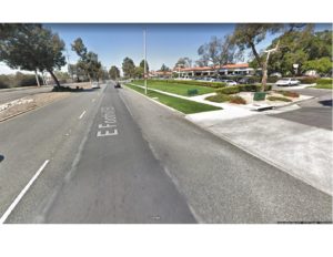
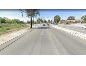
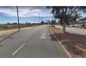
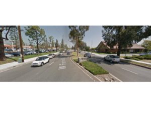
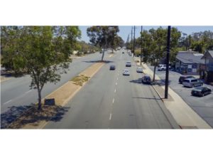
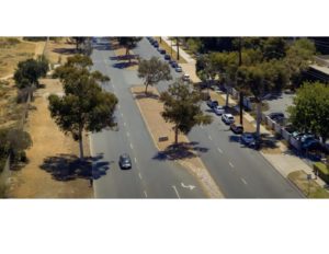
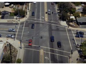
The Foothill Boulevard Master Plan Improvements project is located within the City of Claremont, in Los Angeles County. This is a complete streets project that was designed to improve the corridor by making it a pedestrian, bicycle, and storm water friendly facility in addition to addressing motorists’ safety and needs. This project is just over 2 miles in length, and is a major east-west corridor (Old Route 66) connecting its neighbor to the west (City of Pomona) to the Los Angeles/San Bernardino County boundary, at the City of Upland/City of Claremont limit to the east. This complete streets project is the largest Capital Improvement project of its kind to take place in the City of Claremont. The Foothill Boulevard Corridor was once owned by the California Department of Transportation (Cal Trans), until Caltrans relinquished the roadway to the City. The City of Claremont has since taken over jurisdiction of Foothill Boulevard as of 2012. Since then, the City determined the need to improve the outdated corridor, which mostly benefited the vehicles. For that purpose, the City went through a Master Plan process, which included numerous public outreach engagements to gather public feedback. The Foothill Master Plan was approved by City Council in 2015. The City was able to advertise the complete design of this Complete Streets project in 2018, and ultimately completing construction in July of 2020. This complete streets project provides numerous benefits for pedestrians, bicyclists, motorists, and the environment by collecting and infiltrating storm water. 1) 44 New ADA Ramps, 2) 30,000 SF of new sidewalk, 3) 53,000 SF of rehabilitated Sidewalk, 4) 2.5 miles of Class II striped biked lanes, 5) 1.5 miles of Class IV separated bike lanes (cycle tracks), 6) Bulbouts at certain intersections to reduce pedestrian exposure to traffic and crossing time, and enhancing pedestrian visibility at these intersections, 7) 154 New LED street lights (including pedestrian lights) to enhance nighttime visibility and safety for users, 8) 9,450 tons of rubberized asphalt diverting roughly 16,000 tires from landfills, 9) reducing oversized travel lanes to 12 feet from the previous exiting lanes up to 20+ feet in width and installing 555 new street trees, in addition to 12, 500 new plants and shrubs helping to reduce the heat island effect, 10) Water efficient bubbler systems to reduce excess water wasted from spray heads, 11) 14 new dry wall systems to collect storm water, 12) 800 FT of new storm drain, 13) Traffic Signal improvements, 14) New signal timing, and 15) new signing and striping, including green bike lane striping for bicycle safety and ladder crosswalk for pedestrian safety. These improvements can also been seen in the video using this link https://youtu.be/cu-1exs3QIY.
Add Comment